Lesotho — The Kingdom in the Sky

Entirely surrounded by South Africa, this mountain nation rises above the clouds at 3,000 metres — the only country on Earth with its entire territory above 1,000 m

3,482 m Highest Peak 100% Mountainous Only Nation Within a Nation
Explore Hiking Discover More

Above the Clouds

Lesotho is one of the world's most extraordinary geographical anomalies. Landlocked within the borders of South Africa, it is the only nation on the planet where the entire territory sits above 1,000 metres above sea level. Its lowest point — near the confluence of the Orange and Makhaleng rivers — stands at 1,400 metres, higher than the summit of many European mountains.

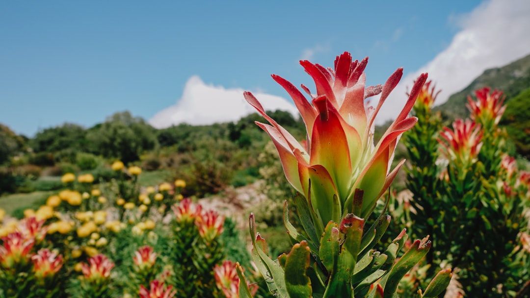
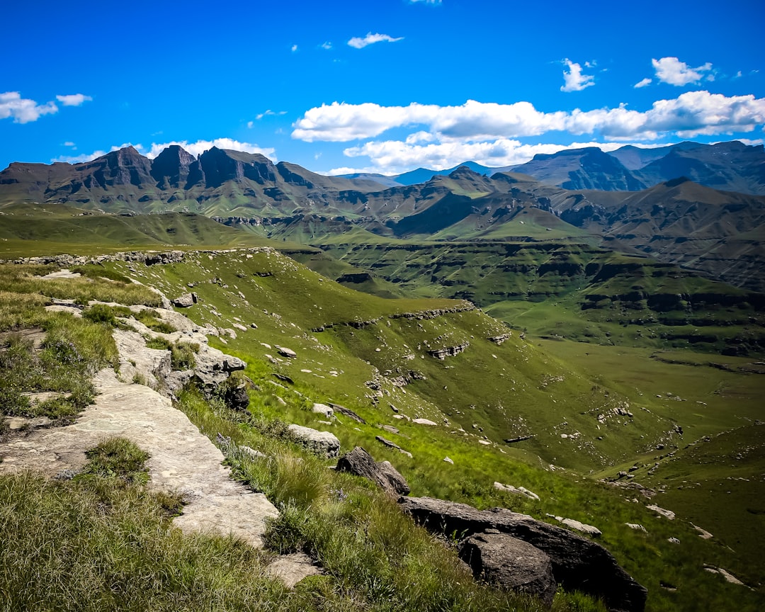
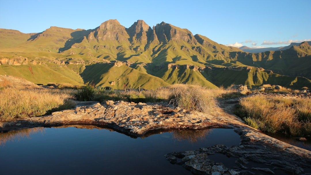
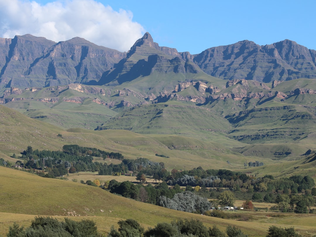
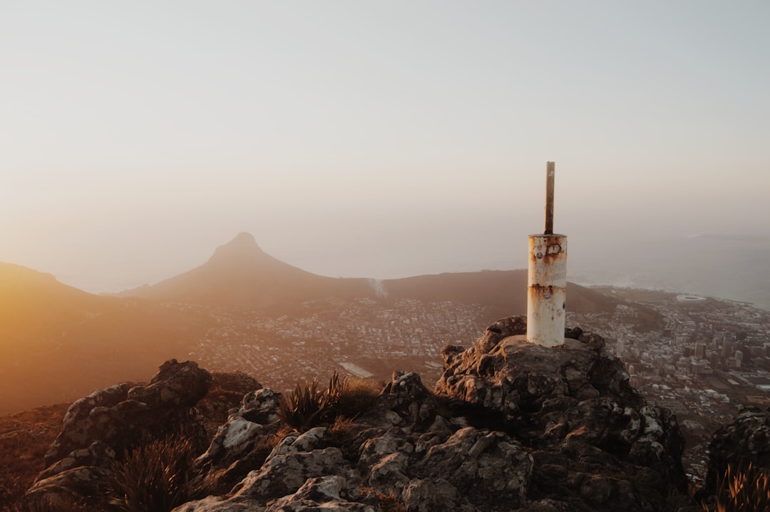
The country occupies the heart of the Maloti and Drakensberg mountain systems, where the landscape is defined by vast highland plateaus, sharp basalt escarpments, deep river gorges and sweeping grasslands that glow amber and gold through the dry winter months. The Thabana Ntlenyana, meaning "beautiful little mountain" in Sesotho, reaches 3,482 metres — the highest peak in southern Africa outside the Rwenzori range.

This altitude shapes everything: the climate, the culture, the transport, the agriculture and the extraordinary sense of isolation you feel when standing on one of its many high plateaus. Snow falls regularly in winter, dusting the dark basalt peaks white, and the air carries a crisp clarity that feels far removed from the lowveld bushveld just below the Drakensberg escarpment.

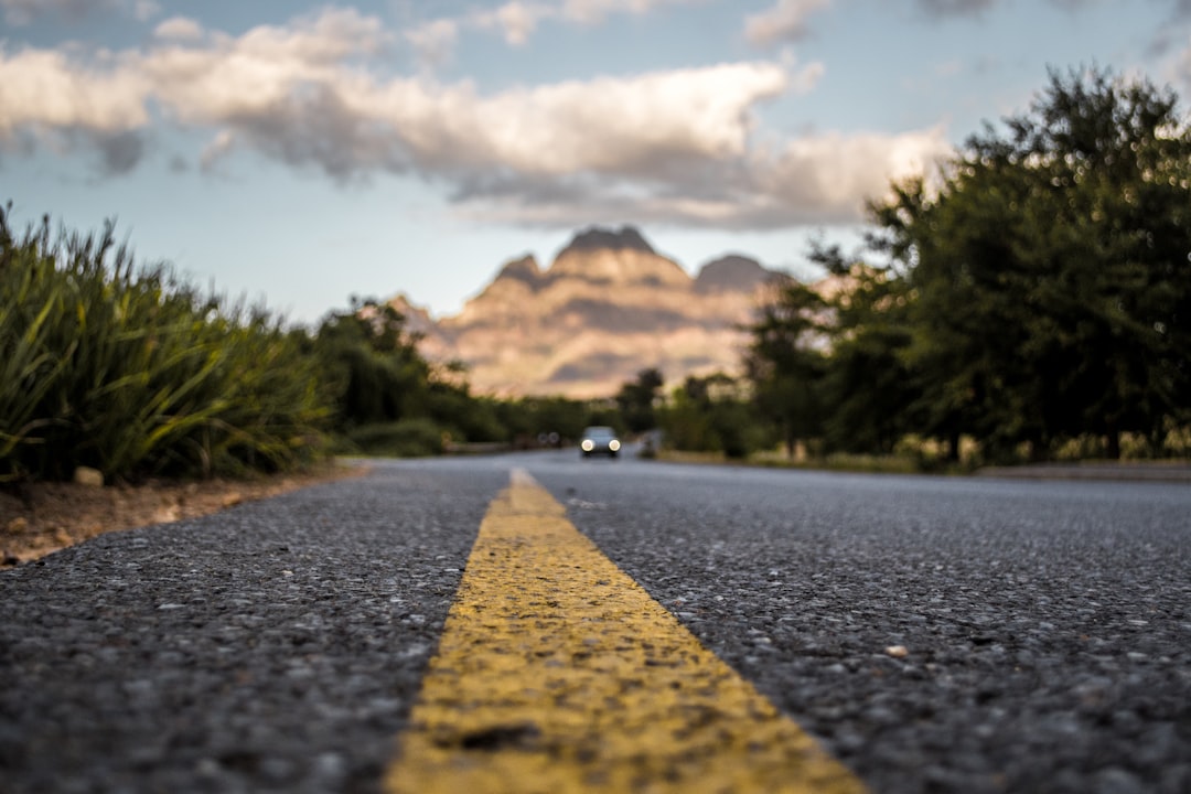
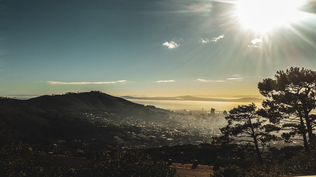
Maseru, the capital, sits at the western lowlands — the closest Lesotho comes to being flat. From here, the land rises dramatically eastward, with roads climbing through hairpin turns into the clouds. The Sani Pass, shared with KwaZulu-Natal on its South African side, is one of the most spectacular mountain roads in the world, requiring a 4x4 for most of its upper section and rewarding those who ascend with views that stretch across three countries.

The Orange River — known as the Senqu River in Lesotho — is born in these highlands and flows westward to the Atlantic Ocean, supplying fresh water to a significant portion of southern Africa. The Lesotho Highlands Water Project, one of the largest infrastructure projects on the continent, harnesses this resource through a series of dams and tunnels that transfer water northward to South Africa's Gauteng industrial heartland.

Lesotho mountain highlands panorama
1,400m
Lowest Point
3,482m
Thabana Ntlenyana
30,355
km² Area
2.3M
Population

Pony Trekking in the Highlands

The Basotho pony is as much a part of this landscape as the mountains themselves — the original mountain transport, still the most reliable way to reach the remotest villages

Basotho pony on mountain trail Lesotho

The Mountain Horse

The Basotho pony is a breed developed over centuries from horses brought by the Voortrekkers and mixed with native stock to produce an animal uniquely adapted to the extreme altitude and rocky terrain. Compact, sure-footed and remarkably tough, these ponies can carry a rider across passes that would challenge a mule.

The pony became the cornerstone of Basotho identity and economy long before any road reached the interior. Village chiefs measured wealth in herds of ponies, and today they remain deeply woven into ceremonial life. A young man's transition to adulthood often involves the care and mastery of a pony.

Trekking Routes
Pony trekking route through Lesotho highlands

Multi-Day Treks

Pony trekking operations based in the Malealea and Semonkong areas offer everything from half-day village rides to week-long expeditions across the high plateau. Nights are spent in remote villages or mountain huts, with local guides providing meals of pap, moroho (wild spinach) and slow-cooked meat.

The most celebrated route links Malealea to the Ribaneng and Ketane waterfalls — a 3–4 day journey through gorges, river crossings and passes above 2,800 metres. Early morning departures catch the highland mist rising off the valleys below, creating one of the most photogenic landscapes in the continent.

Plan Your Trek

Basotho Culture & Identity

The Basotho people are among the most culturally cohesive in Africa. Despite centuries of colonial pressure and the perpetual influence of a far larger neighbour, they have maintained a distinct national identity anchored in language (Sesotho), monarchy, custom and a deep connection to the land.

The Basotho blanket — the liphoto — is the most visible symbol of this identity. Originally woollen trade blankets imported from Europe in the 19th century, they were quickly adopted as the defining garment of Basotho identity, worn over the shoulders regardless of age, gender or occasion. Each pattern carries meaning: the Victoria blanket celebrates the British monarch, the Seanamarena marks the initiation schools, and the Motlotlehi honours the king.

The conical mokorotlo hat — woven from grass — is the national symbol, appearing on the Lesotho flag and on the head of the image of King Moshoeshoe I, the 19th-century founder of the Basotho nation who united rival clans against Boer and British incursion through diplomacy and strategic alliances.

Village life revolves around the lekhotla — the gathering place where community decisions are made — and the seasons of the agricultural calendar: ploughing, planting, the first rains, and harvest. Music and dance are integral to every ceremony, with the mokhibo — a female dance performed on the knees — and the mokgibo remaining central to formal celebrations.

Explore Culture
Basotho culture traditional blankets and mokorotlo hat